Create
Creative AssetsTutorialsPricing


More
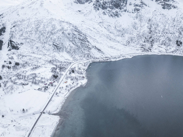

Aerial photography, Lofoten Islands landscape - Stock Photo & Image
By FernandoPrivitera 3992x2992 px
Stock Photo ID: 310235930
This site is protected by reCAPTCHA and the Google
Privacy and Cookie Policy and Terms of Service apply. from
Similar Royalty-Free Images
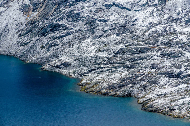

Panorama of the lake Djupvatnet on the road to mount Dalsnibba in Norway. Aerial(drone) shot in july 2019
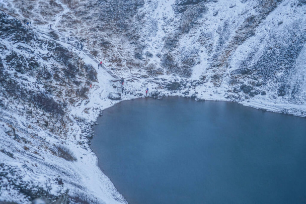
Gerizu crater lake (Iceland Gurimusunesu region)


Panorama of the lake Djupvatnet on the road to mount Dalsnibba in Norway. Aerial(drone) shot in july 2019

Aerial view of bridge and road in Lofoten islands, Nordland county, Norway, Europe. White snowy mountain hills and trees, nature landscape background in winter season. Famous tourist attraction

Show more


