


Filters

Stock royalty-free photos and images of Topografik
Discover unlimited high resolution images of Topografik and stock visuals for commercial use.


Surveyor engineer making measure on the field with tablet pc

Construction site atmosphere. Engineer working on theodolite. Workers and construction machines in background

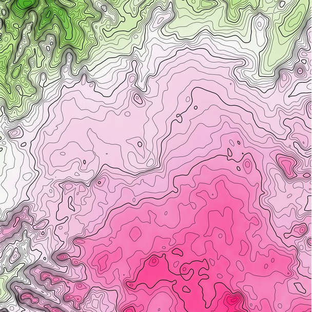
Green-pink topographical map with contour lines


Contour topo map brown with labels


Light blue-yellow topographical map with dashed contour lines

Blue-yellow topographical map with dashed contour lines

Seamless earth line topographic map organic pattern print. High quality illustration. Wavy lines shaped like the contours of the land. Nature inspired design for surface pattern print.


Light purple mountain landscape on a white background for advertising

Geological map for training as background close-up
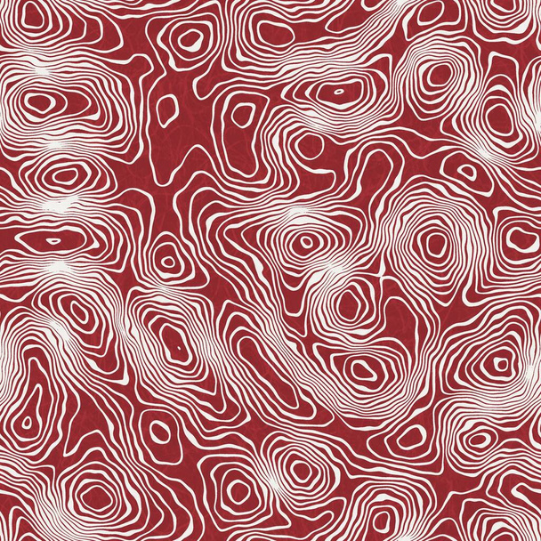
Seamless earth line topographic map organic pattern print. High quality illustration. Wavy lines shaped like the contours of the land. Nature inspired design for surface pattern print.


Brown colored topographical map with dashed contour lines


Seamless earth line topographic map organic pattern print. High quality illustration. Wavy lines shaped like the contours of the land. Nature inspired design for surface pattern print.


Geological map for training as background close-up

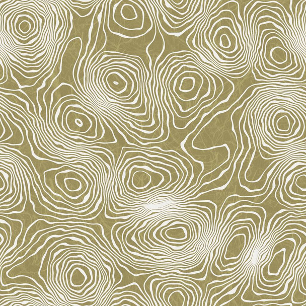
Seamless earth line topographic map organic pattern print. High quality illustration. Wavy lines shaped like the contours of the land. Nature inspired design for surface pattern print.

3D gradient topographic mountain grid wireframe.
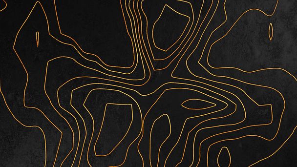
Dark gray and gold topographic abstract background, 3d render

Maroon mesh polygonal mountains on a pink background
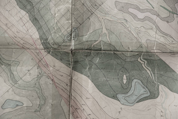
Geological map for training as background close up
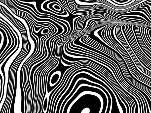
3D Abstract topographic contour. Black and white terrain.

Surveyor engineer working with theodolite on road construction site

Wave pattern paper cut background, 3d rendering. Computer digital drawing.

Geological map for training as background close up

3D Abstract topographic contour. Black and white terrain.

Seamless earth line topographic map organic pattern print. High quality illustration. Wavy lines shaped like the contours of the land. Nature inspired design for surface pattern print.

Red laser is leveling device central device to level construction site.

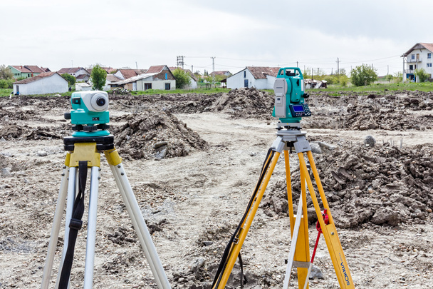
Total center device on tripod with laser for leveling other devices to level construction site.

3D Abstract topographic contour. Black and white terrain.
Surveyor instrument and leveling lath are used for measuring level on construction site. Surveyors ensure precise measurements before undertaking large construction projects.

Surveyor equipment tacheometer or theodolite on new palm oil plantation. Surveyors ensure precise measurements land boundary for new plantation.

Wave pattern paper cut background, 3d rendering. Computer digital drawing.
Surveyor engineer's equipment for measuring level on construction site. Surveyors ensure precise measurements before undertaking large construction projects.

High resolution topographic map of Virginia with land cover, rivers and shaded relief in 1:1.000.000 scale.

Seamless abstract line geo pattern for print. High quality illustration. Wavy lines resembling topographical maps overlaid and then filled for a modern attractive abstract textured surface design.

Site engineer surveying coordinates and levels of points on existing road using total station installed above control point

Total center device with laser for leveling other devices to level construction site.

Illustration of terrain, mountains, desert, sand dune ,The Earth's background concept

Construction workers measuring ground level at road construction site

From nature to a new city - concept image with a green grass area that fades on the map of an imaginary city with buildings and roads - nature becomes a city.
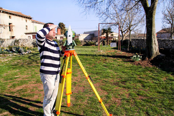
Man using of total station. Guy surveyor at work. Survey Instrument geodetic device, total station set in the field. Surveyor worker making measurement in the garden.

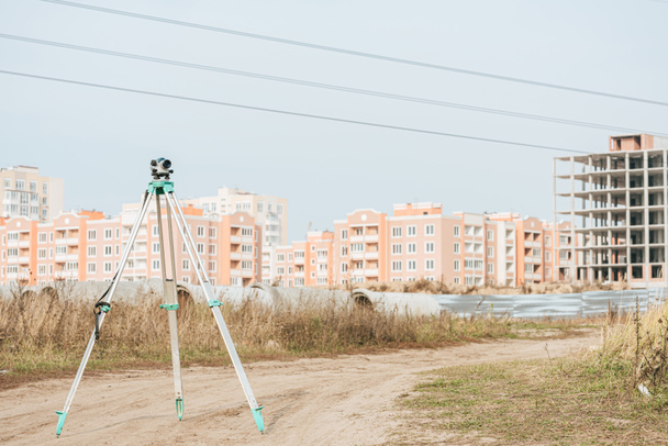
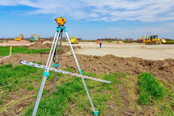
Surveying measuring equipment level transit on tripod at construction building area site

Surveying measuring equipment level theodolite on tripod at construction site with workers in background

Site engineer in hi-viz installing surveying instrument on construction site

Theodolite equipment of Surveyor builder engineer during surveying work in construction site

Engineer with a theodolite for measuring topographic

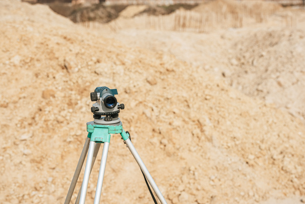
Surveyor instrument is for measuring level on construction site. Surveyors ensure precise measurements before undertaking large construction projects.
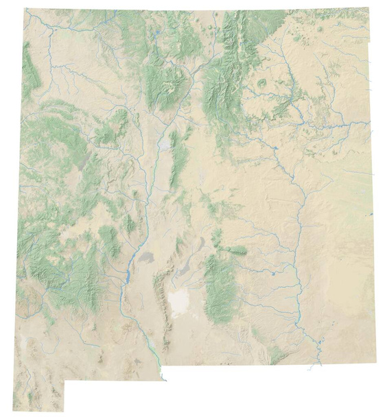
High resolution topographic map of New Mexico with land cover, rivers and shaded relief in 1:1.000.000 scale.

Site engineer in hi-viz installing surveying instrument on construction site

Illustration of terrain, mountains, desert, sand dune ,The Earth's background concept

Construction engineer and foreman worker checking construction drawing at construction site for new Infrastructure construction project

Surveying measuring equipment level transit on tripod at construction building area site

Low poly mountains landscape. Polygonal shapes peaks. 3d illustration. Light black and white triangle mosaic background

Total center device on tripod with laser for leveling other devices to level construction site.
Surveyors ensure precise measurements before undertaking large construction projects.

Surveying measuring equipment level transit on tripod at construction building area site

Surveying measuring equipment level theodolite on tripod at construction site

Surveyor Civil Engineer using equipment theodolite or total positioning station on the construction site.

Surveyor instrument for measuring level on construction site, excavator is in background.

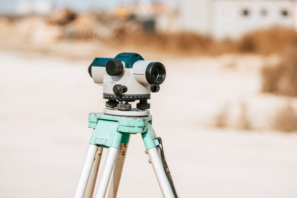
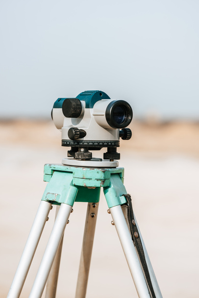
Automatic Level. Work tool. Outside and sunny day.
Total center device with laser for leveling other devices to level construction site.

Site engineer in hi-viz installing surveying instrument on construction site

Surveyor instrument is for measuring level on construction site. Surveyors ensure precise measurements before undertaking large construction projects.

Surveyor engineer is measuring bridge under construction, site. Surveyors ensure precise measurements before undertaking large construction projects.

Abstract topographic surface. Brown stepped landscape background. 3D rendering image

Theodolite on tripod at road construction site with workers supervising works

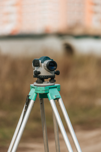
Construction level on a tripod, measuring equipment on a construction site

Man using of total station. Guy surveyor at work. Survey Instrument geodetic device, total station set in the field. Surveyor worker making measurement in the garden.
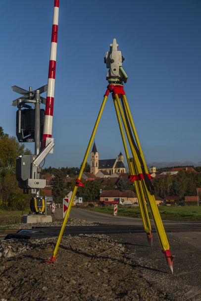
Surveyor machine near railway track in Bavorov town with sunrise fresh soft colors

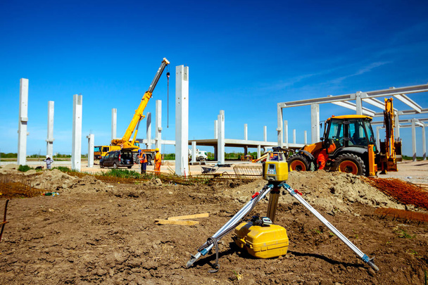
Rotating laser surveying equipment set on construction site with excavator digging foundation in the background. Laser level as a key device to level construction site

High resolution topographic map of Kansas with land cover, rivers and shaded relief in 1:1.000.000 scale.

Optical theodolite construction site
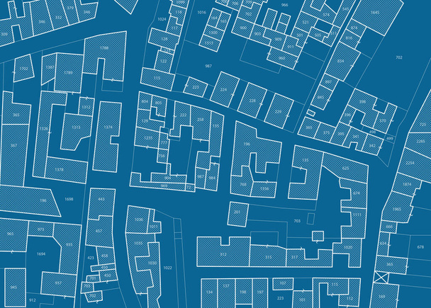
Imaginary cadastral map of territory with buildings, roads and land parcel - land registry concept illustration - note: the map background is totally invented and does not represent any real place.

Surveyor, level, theodolite, building

Low poly mountains landscape. Polygonal shapes peaks. 3d illustration. blue triangle mosaic background

Survey engineer in prefabricated construction site using special equipment for surveying

Total center device with laser for leveling other devices to level construction site.

3d illustration of city topography in black & white

Illustration of terrain, mountains, desert, sand dune ,The Earth's background concept

Low poly mountains landscape. Polygonal shapes peaks. 3d illustration. blue triangle mosaic background

Total center device on tripod with laser for leveling other devices to level construction site.

Futuristic animation with topographic lines. Design. Holographic spots of lines in cyberspace. Lines and spots move on computer topographic map.

Geological map for training as background close up

Foundation pouring. Level for the foundation. Alignment of the foundation along the horizon. Geodetic work. Land sales

Dark gray topographic abstract background, 3d render

Light green abstract polygonal mountains on a white background

Geometric grey topography map concept, element cut out of paper. 3D illustration relief background, seamless design

Man using of total station. Guy surveyor at work. Survey Instrument geodetic device, total station set and surveyor worker making measurement in the field. Total station outdoor at construction site.