


Filters

Stock vector images of States
Discover royalty-free, professionally-designed vector art of States for personal and commercial use.
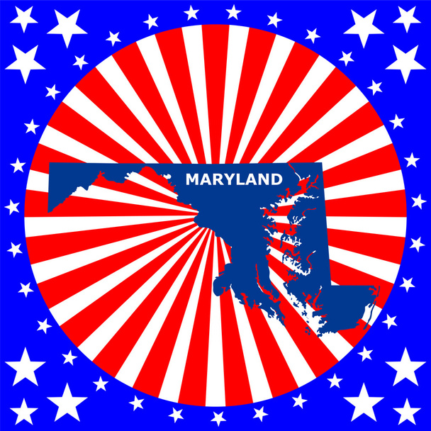
Map of the U.S. state of Maryland

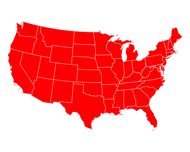
Vector map of the united states of america and flag (closed paths)

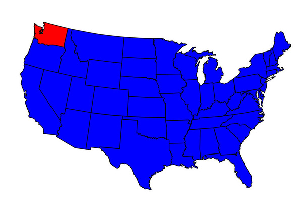
Blue vector map of United States with indication of Washington

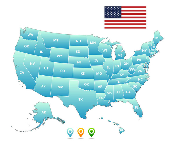
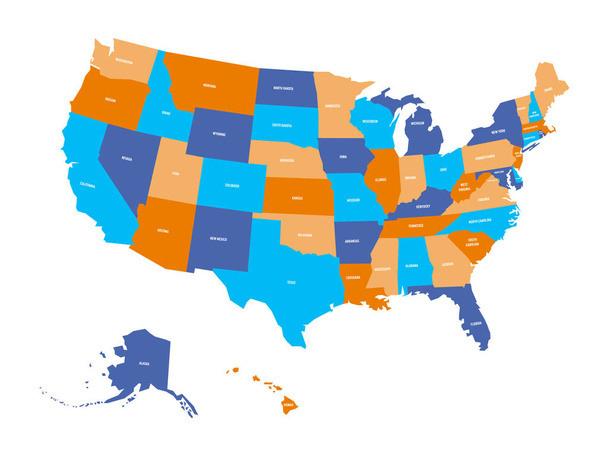
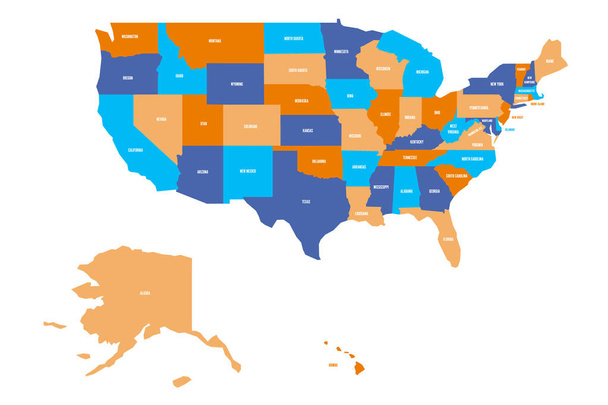
USA, Map of United States Of America with name of states, American map
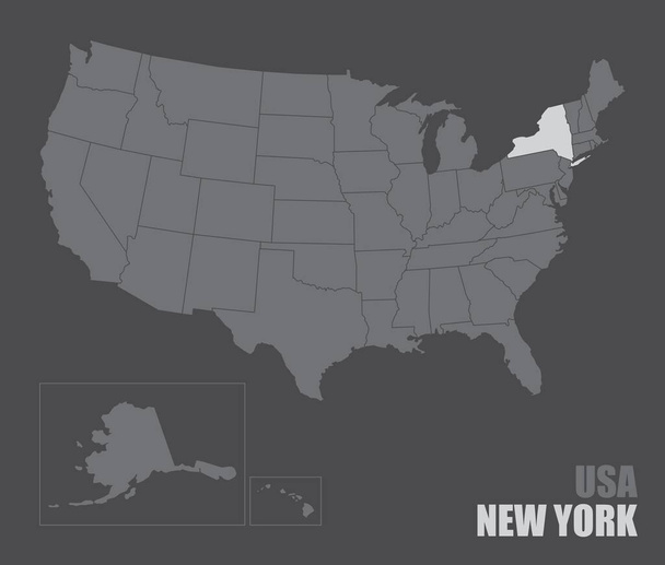
The USA map with the highlighted New York State


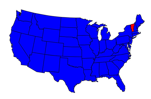
Vector map of United States with indication of New York

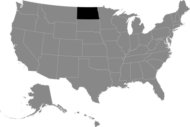
Black location map of US federal state of North Dakota inside gray map of the United States of America


Neon map of the USA on black background. Vector illustration.
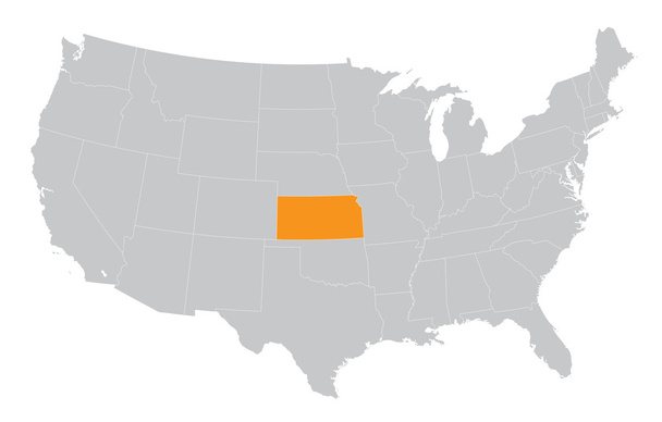
USA map with the indication of The State of Kansas


Blank similar USA map isolated on white background. United States of America usa country. Vector template usa for website, design, cover, infographics. Graph illustration

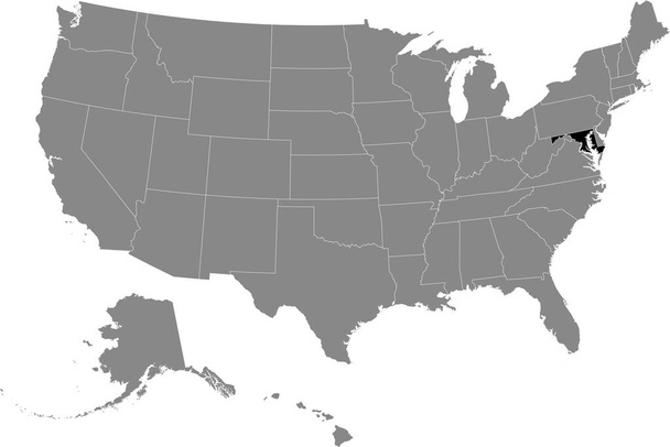
Black location map of US federal state of Maryland inside gray map of the United States of America

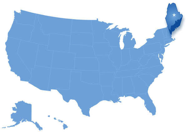
Political map of United States with all states where Maine is pulled ou
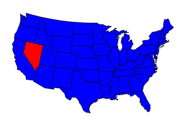
Nevada state outline inset into a map of The United States of America

Nebraska state outline and icon inset set into a map of The United States of America
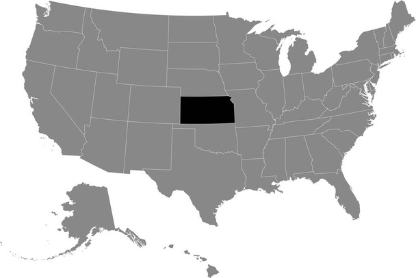
Black location map of US federal state of Kansas inside gray map of the United States of America
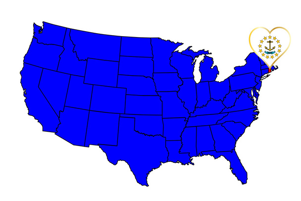
Rhode Island state outline and icon inset set into a map of The United States of America

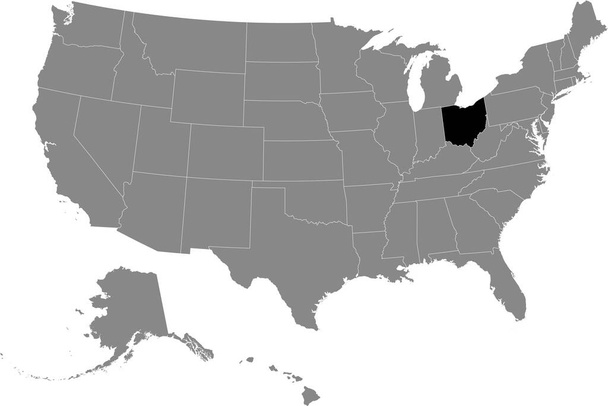
Black location map of US federal state of Ohio inside gray map of the United States of America


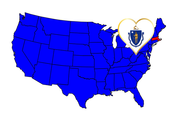
Political map of United States with all states where Massachusetts is pulled out

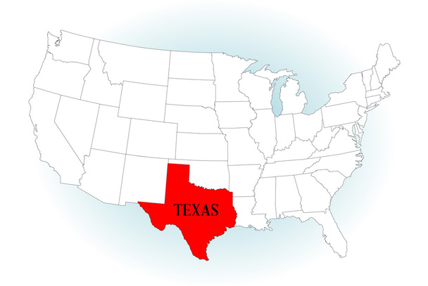
An outline map of TheUnited States of America with Texas highlited


Pennsylvania state outline and silhouette inset into a map of The United States of America
USA map isolated vector illustration

Washington state outline inset set into a map of The United States of America

High detailed USA map with federal states. Vector illustration United states of America on black background.

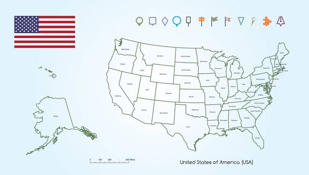
Vector Illustration of a High Detail Map of The United States of America Outline for each Countries with USA Flag And Locator Collection.

Political map of USA, United States of America. Colorful with white state names labels on white background. Vector illustration.
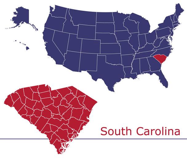
South Carolina counties vector map with USA map colors national flag

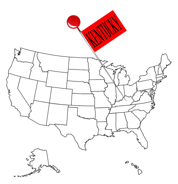
An outline map of USA with a knob pin in the state of Kentucky

Black blank Alabama state map. Flat icon symbol vector illustration .


Political map of United States with all states where Nebraska is pulled out
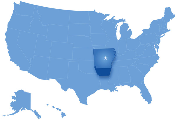
Political map of United States with all states where Arkansas is pulled ou
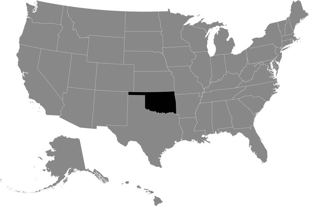
Black location map of US federal state of Oklahoma inside gray map of the United States of America

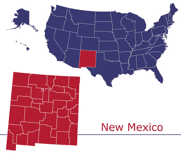
New Mexico counties vector map with USA map colors national flag


Arizona vector map silhouette. High detailed illustration. United state of America country .

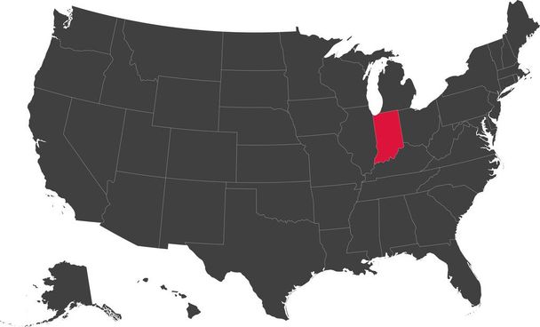
Map of the United States of America split into individual states. Highlighted state of Indiana.

US map. Vector map of USA, United States of America.

Gray vector counties map of the federal states of United States of America

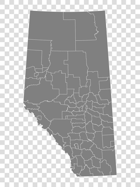
Alberta map on transparent background. Province of Alberta map with municipalities in gray for your web site design, logo, app, UI. Canada. EPS10.

Massachusetts state outline and icon inset set into a map of The United States of America
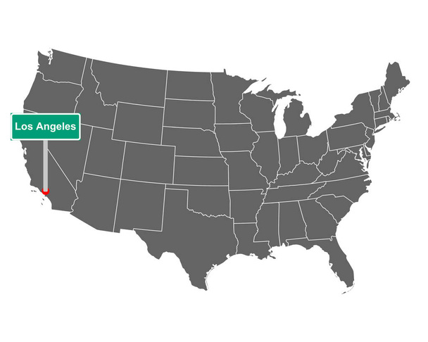
Map of the USA with road sign Los Angeles


Political map of United States with all states where Virginia is pulled ou
Alaska map, state of USA. Solid silhouette map of country area. Simple flat vector illustration .
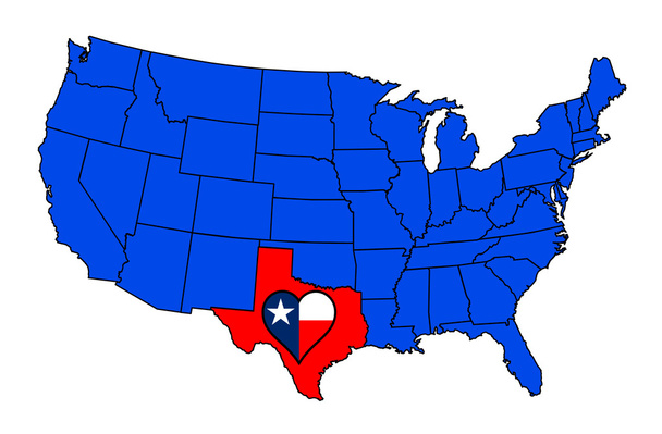
An outline map of The United States of America with Texas gighlited with heart and flag

Accurate map of USA

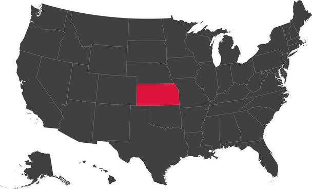
Map of the United States of America split into individual states. Highlighted state of Kansas.
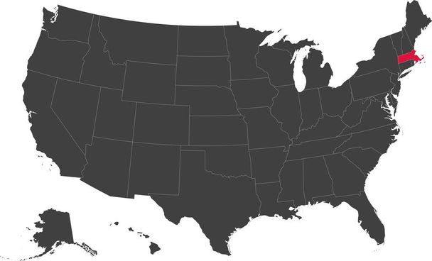
Map of the United States of America split into individual states. Highlighted state of Massachusetts.
Vermont state outline and silhouette inset into a map of The United States of America

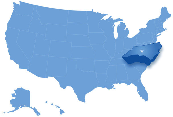
Political map of United States with all states where North Carolina is pulled ou


Hand drawn vector map of the United States of America. Sketch illustration with all 50 states

South Dakota state outline and icon inset set into a map of The United States of America

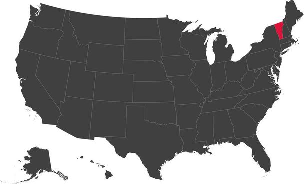
Map of the United States of America split into individual states. Highlighted state of Vermont.