


Filters

Stock royalty-free photos and images of Térinformatikai
Discover unlimited high resolution images of Térinformatikai and stock visuals for commercial use.

Geographic information systems concept, woman scientist working with futuristic interface in GIS software on a transparent screen.

Digital elevation model of mountainous terrain

Geoinformatics and Geospatial Analysis - The Use of Informatics and Science to Study Spatial and Geospatial Information - Conceptual Illustration

Geographic information systems concept, woman scientist working with futuristic interface in GIS software on a transparent screen.

Presentation of Diagram of GIS

Presenting GIS Software Suite
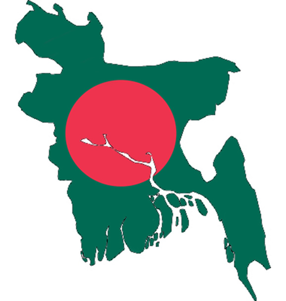
Ilustration of Bangladesh in Bangladesh flag
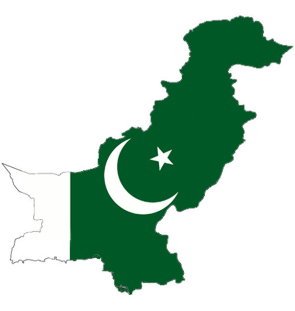
Ilustration of Pakistan in Pakistan flag

GIS Files concept with Random Parts of Program Code. GIS Files with Programming code abstract technology background of software developer and Computer script. GIS Files Background concep
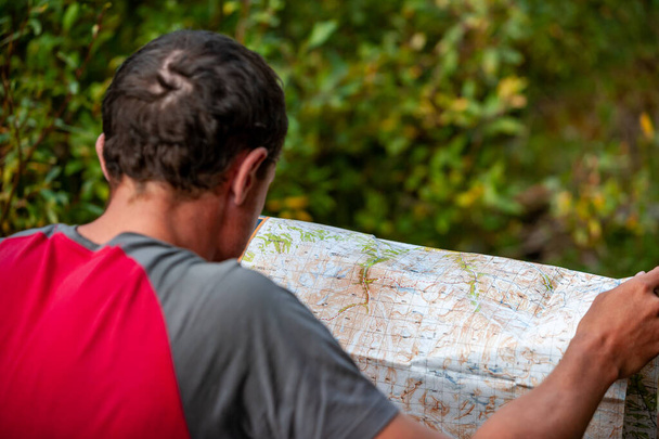
Caucasian man looking at trekking path on map. Navigating. Karakol valley, Issyk-kul region, Ala-kul lake Terskey Alatau mountain range, Kyrgyzstan, Central Asia.

Back to school with colored pencils on the table

Geodetic survey marker pin in dirt and rock matrix, iron surveyor spike, land surveying background, horizontal aspect

Greece delphi center of the world or the navel of the earth near the ruins of
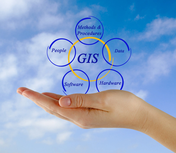
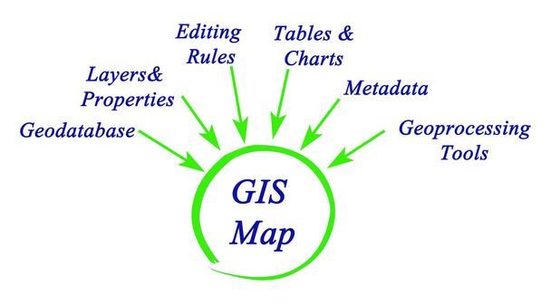
Diagram of GIS
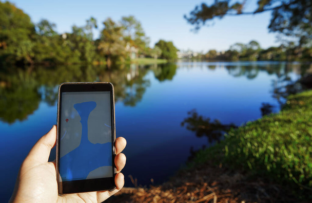
Man using mobile map app next to the lake

GIS, Geographic Information System, written on the chalkboard

Child scribble, drawn by crayon
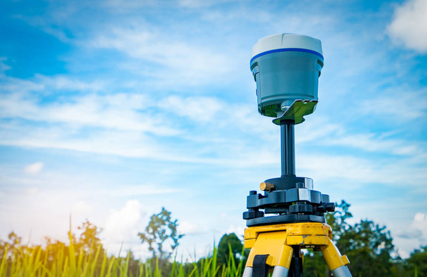
GPS surveying instrument on blue sky and rice field background
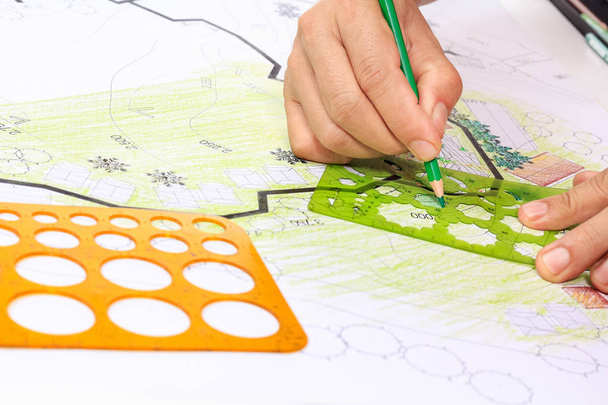
Landscape architecture design garden plan for housing development
Presentation of Diagram of GIS

Map view of Nigeria on a geographical globe

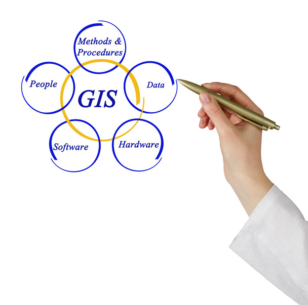
Presentation of Structure of GIS

Diagram of Structure of GIS

Gas-insulated insulation of electrical equipment, gas insulation. High quality photo
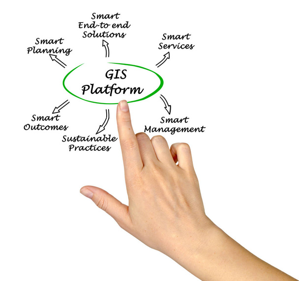
Benefits of GIS Platform

Back to school with colored pencils on the table

Back to school with colored pencils on the table

Back to school with colored pencils on the table

Back to school with colored pencils on the table

GIS. Geographic Information System sign on white background

Diagram of GIS

Soldiers Word Representing Comrade In Arms And Military Action
Presentation of Diagram of GIS
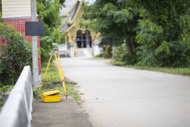
GPS surveying in field, Global Positioning System.

GIS geographic information system Written on Green Key of Metallic Keyboard. Finger pressing key
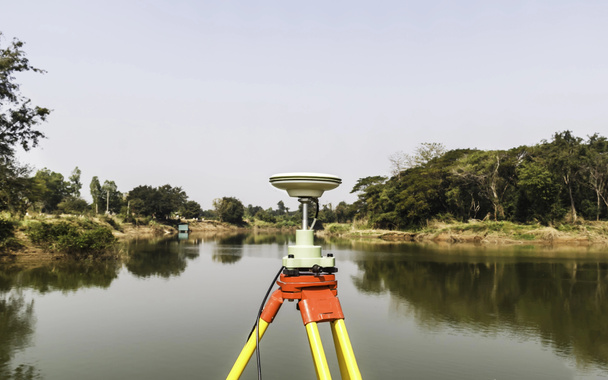
GPS surveying working near the river

Soldiers Words Indicating Comrade In Arms And Fighting

GIS Is Being Applied Around the World
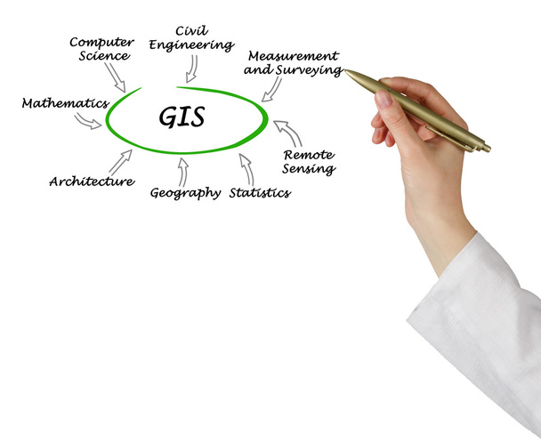
Presentation of Diagram of GIS
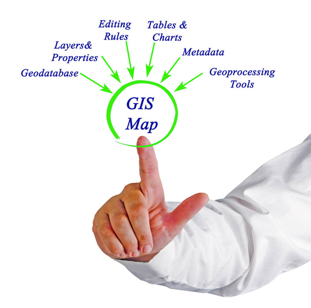
Contributors to GIS map

GPS surveying in field, Global Positioning System.

Back to school with colored pencils on the table
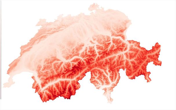
Red digital elevation model of mountainous terrain
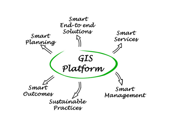
Benefits of GIS Platform
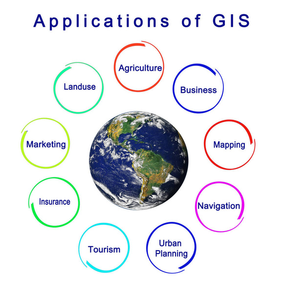
Nine Applications of GIS
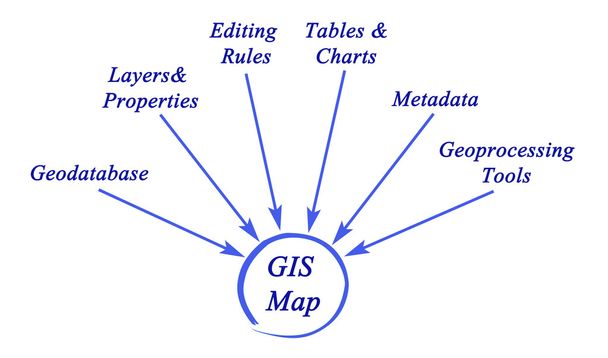
Diagram of Structure of GIS
Presenting Structure of GIS
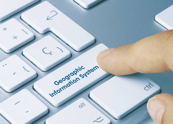
Geographic Information System Written on Blue Key of Metallic Keyboard. Finger pressing key.
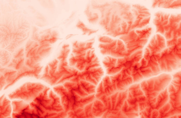
Red digital elevation model of mountainous terrain

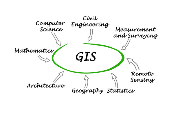
Fields applicable to Geographic Information System
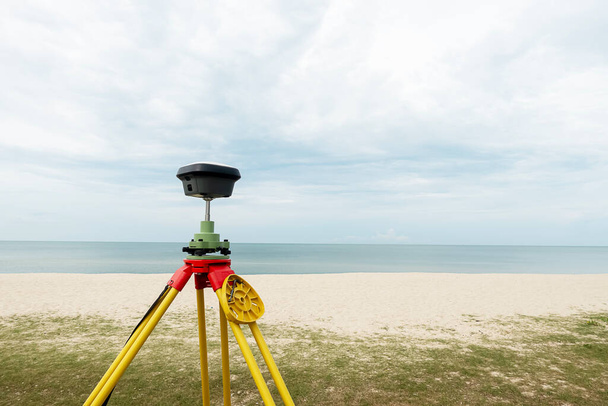
GPS surveying in field sea background, Global Positioning System.