Creëer


Ontwerptools
Creatieve itemsHandleidingenPrijzen
Meer
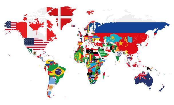
VistaCreateUnlimitedVectorenVector hoog gedetailleerde illustratie van de kaart van de wereld jointed met landen vlaggen


Vector hoog gedetailleerde illustratie van de kaart van de wereld jointed met landen vlaggen - Vectorafbeeldingen
door Jktu_21 8334x4233 px
Stockvector ID: 183620676
Gratis te gebruiken in de beeldbewerker en om te downloaden.

Gratis voor persoonlijke en commerciële doeleinden met naamsvermelding.
Naamsvermelding na het downloaden is vereist.
Deze website wordt beschermd door reCAPTCHA.
Privacy- en Cookiebeleid en Servicevoorwaarden zijn van toepassing. van
Soortgelijke rechtenvrije vectors

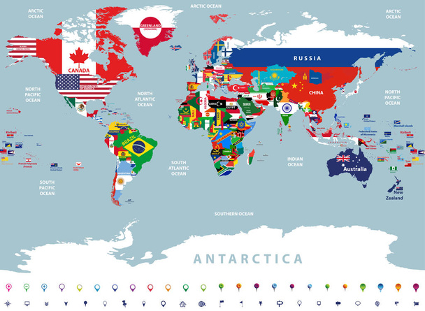
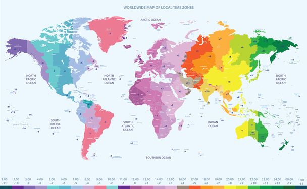
World Map and Flags - borders, countries and cities -vector illustration
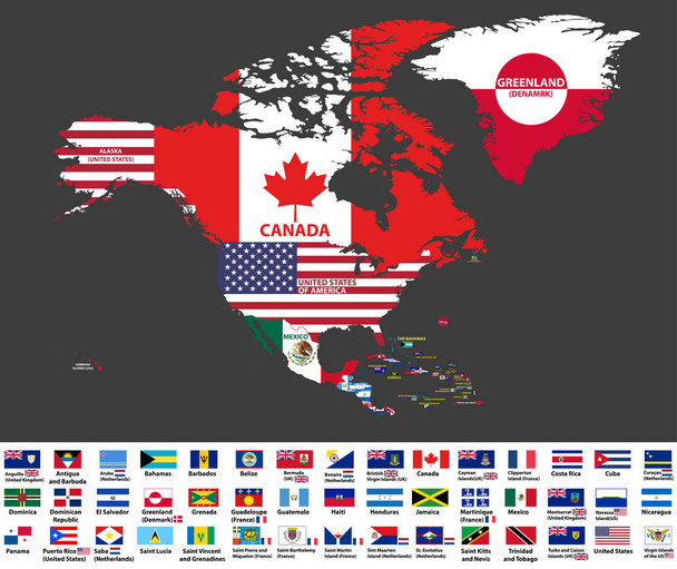
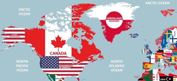
Political World Map vector illustration with the flags of all countries. Editable and clearly labeled layers.


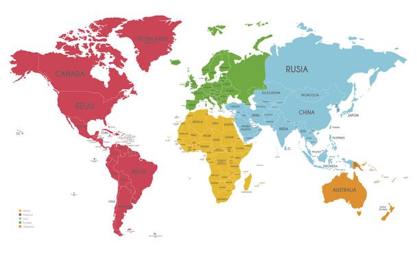
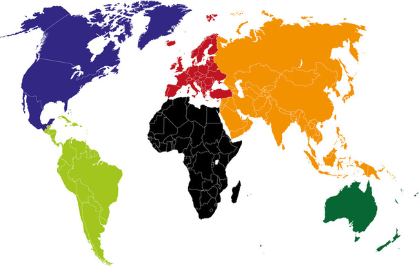
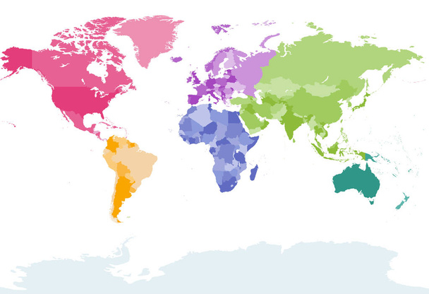
Political World Map vector illustration with different colors for each continent and isolated on white background with country names in spanish. Editable and clearly labeled layers.

World Map and Flags - borders, countries and cities -vector illustration
Meer tonen


Tags voor stockvectors
Vector
Achtergrond
Ontwerp
Reizen
Vlag
Symbool
Concept
Aarde
Planeet
Wereld
Italië
Frankrijk
Toerisme
Noorden
Europa
Oost
Van porselein
Zuiden
Land
West
Kaart
Cartografie
Geografie
Afrika
Werelddeel
Duitsland
Azië
Japans
Verenigde Staten
Australië
Zwitserland
India
Brazilië
Oceanië
Atlas
Natie
Polynesië
Argentinië
Peru
Groenland
Venezuela
Alaska
Ecuador
Micronesia
Verenigde Naties
Verenigd Koninkrijk
Alle naties
Wereld kaart vector
Alle vlaggen