Projektuj
Zasoby kreatywneTutorialeCeny


Więcej
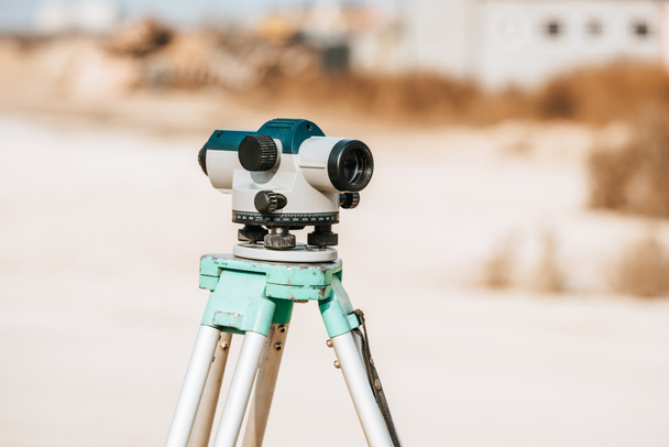

Cyfrowy poziom pomiaru geodezji na statywie - Zdjęcie stockowe & obraz
Od AndrewLozovyi 7360x4912 px
ID zdjęcia stockowego: 320404716
Ta strona jest chroniona przez reCAPTCHA.
Polityka prywatności i plików cookie Google i Warunki usługi z
Podobne obrazy bez tantiem


Tacheometer for surveying on the construction site. bright color, reliable design, high-quality lens

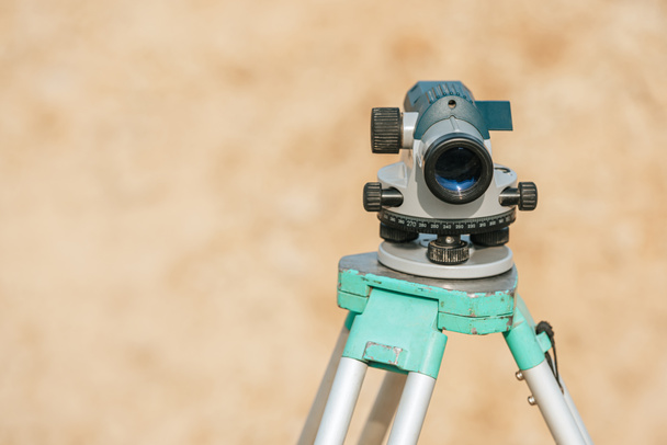
Optical digital level assembled to level the earth - Marking a contour line on the farm.

Surveyor equipment tacheometer or theodolite outdoors at construction area, builders work in background. concept of construction, designers, instruments.

Optical digital level assembled to level the earth - Marking a contour line on the farm.
Pokaż więcej