Creëer


Ontwerptools
Creatieve itemsHandleidingenPrijzen
Meer
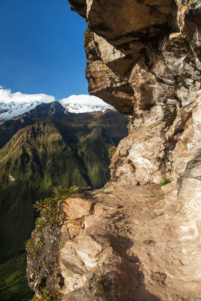
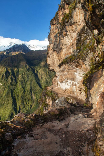
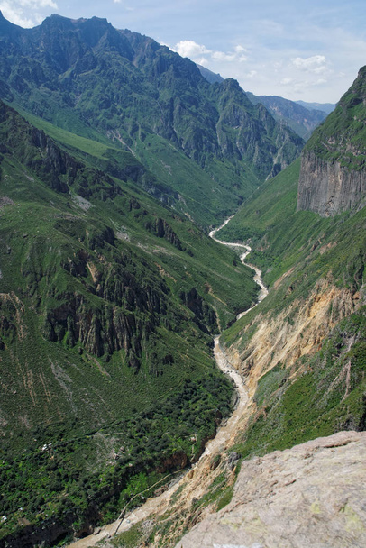
VistaCreateUnlimitedFoto’sPathway en Rio Apurimac, Apurimac is het bovenste deel van de longist en de grootste Amazone rivier, uitzicht vanaf Choquequirao trekking trail, Cuzco gebied, Machu Picchu gebied, Peruaanse Andes


Pathway en Rio Apurimac, Apurimac is het bovenste deel van de longist en de grootste Amazone rivier, uitzicht vanaf Choquequirao trekking trail, Cuzco gebied, Machu Picchu gebied, Peruaanse Andes - Stockfoto’s en -afbeeldingen
door prudek 3250x4875 px
Stockfoto ID: 345353500
Deze website wordt beschermd door reCAPTCHA.
Privacy- en Cookiebeleid en Servicevoorwaarden zijn van toepassing. van
Soortgelijke rechtenvrije afbeeldingen
Mountain landscape. The landscape in Armenia (Tatev). The canyon next to the cable car "Wings of Tatev".

The landscape of colca canyon in peru

Vilcanota River as it passes through the town of Santa Rosa in the Peruvian jungle near Machu Picchu.

Gorge of Vorotan River, Syunik province, Armenia

Hiking through the Austrian mountains, in the Alpbach area.
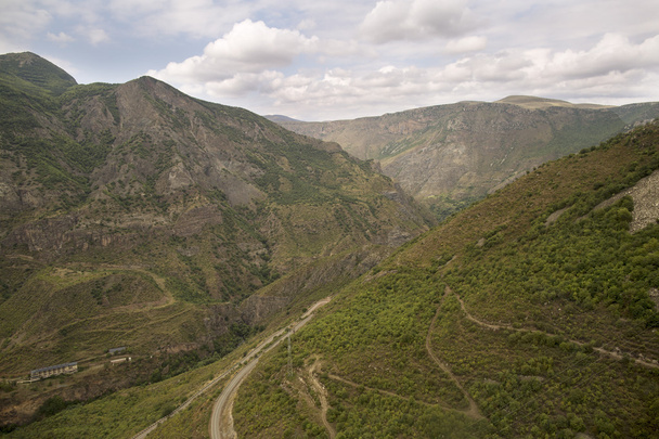
River in the mountains of the Andes in Peru with meadows and cattle

Mountain landscape. The landscape in Armenia (Tatev). The canyon next to the cable car "Wings of Tatev".

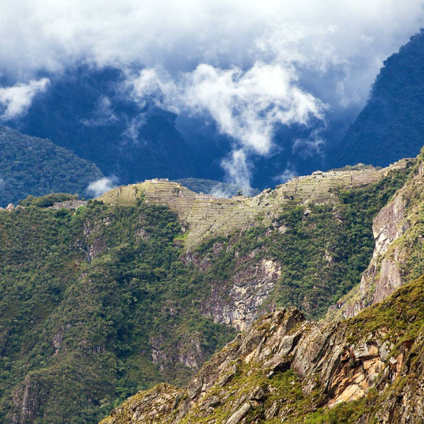
Climbing the mountain Machu Picchu in 2015
Meer tonen