


Filter

Stock-Vektorbilder zum Thema Benin city
Entdecke lizenzfreie, professionell gestaltete Vektorkunst zum Thema Benin city für deine persönliche kommerzielle Nutzung.

Politische karte nigerias mit hauptstadt abuja, landesgrenzen, wichtigsten städten, flüssen und seen. Vektorillustration mit englischer Beschriftung und Skalierung.
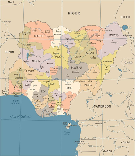
Nigeria map - vintage hochdetaillierte Vektorillustration

Nigeria - karte - detaillierte informationsgrafik vektorillustration
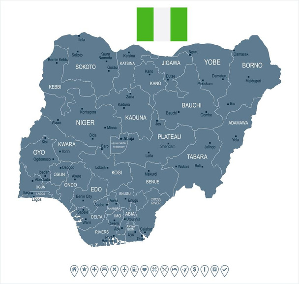
Nigeria Karte und Fahne - hoch detaillierte Vektorillustration

Nigeria Karte und Fahne - hoch detaillierte Vektorillustration

Nigeria Karte und Fahne - hoch detaillierte Vektorillustration

Nigeria Karte und Fahne - hoch detaillierte Vektorillustration

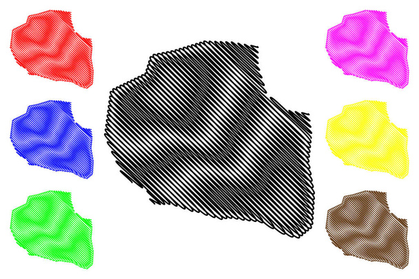
Edo state (unterteilungen nigeria, föderated state of nigeria) kartenvektorillustration, kritzelskizze edo map

Nigeria and West Africa countries on Gulf of Guinea, gray political map. Ghana, Togo, Benin, Nigeria, Cameroon, Equatorial Guinea, and Sao Tome And Principe, with borders, capitals and largest cities.
Nigeria Karte und Fahne - hochdetaillierte Vektorillustration

Kreatives Design der Liebesbotschaft von Benin City

Benin reiseziel grand vector illustration.

Benin reiseziel grand vector illustration.
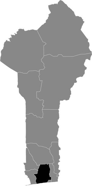
Schwarze Lagekarte des beninischen Atlantikdepartements innerhalb der grauen Benin-Karte

Isometrische 3D-Benin-Karte. stilisierte Vektorkarten-Illustration mit Städten, Grenzen, Hauptstadt, Verwaltungseinheiten und Zeigermarkierungen; Gradienten-Hintergrund mit Raster.

Graue Vektorkarte von Benin mit weißen Rändern seiner Departements

Benin Karte in grau auf schwarzem Hintergrund 3d
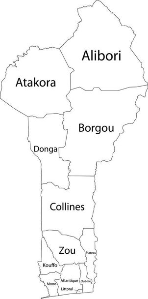
Weiße Vektorkarte von Benin mit schwarzen Rändern und Namen seiner Departements

Schwarze Lagekarte der beninischen Hochebene innerhalb der grauen Karte von Benin

Godomey City (Republik Benin, Atlantique Department) Kartenvektorillustration, Kritzelskizze Stadt Godomey Karte
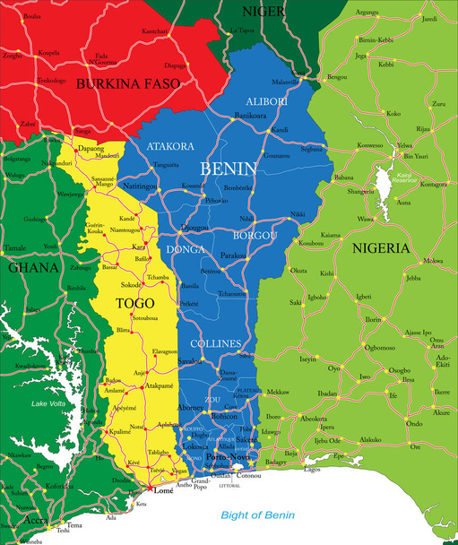
Sehr detaillierte Vektorkarte von Benin mit den wichtigsten Städten und Straßen.

Moderne Karte - benin mit Abteilungen farbigen bj-Vektor

Westafrika-Karte - grüner Farbton auf dunklem Hintergrund. hoch detaillierte politische Karte von Westafrika und der Bucht von Guinea mit Beschriftung von Land, Hauptstadt, Ozean und Meer.

Nordafrika-Karte - Vintage detaillierte Vektorillustration

Nigeria sehr detaillierte Vektorkarte mit Verwaltungsregionen, Hauptstädten und Straßen.

Moderne Karte - Benin mit Abteilungen bj Vektor

Benin willkommen zu kreativem text handgeschriebene schrift mit lila rosa farben design vektor illustration.

Benin welcome to text neon letter typography. Wort für Schriftzug, Abzeichen, Symbol, Karte, Postkarte, Logo, Banner mit verdrahtetem Goldrahmen und Herz-Design-Vektorillustration.

Moderne Karte - oueme bj Vektor

Nordafrika-Karte - detaillierte Vektorillustration

Vektorfarbkarte von Burkina Faso

Vektorkarte des Golfs von Guinea in Westafrika

Vektorstraßenkarte des westafrikanischen Staates Togo mit Flagge

Sehr detaillierte Vektorkarte von Nigeria mit Verwaltungsregionen, Hauptstädten und Straßen.

Parakou City (Republik Benin, Departamento Borgou) Kartenvektorillustration, Kritzelskizze Stadt Parakou Karte

Vektorillustration der Togo-Karte

Westafrika-Karte - detaillierte Vektorillustration

Littoral department (departements von benin, republik benin, dahomey) kartenvektorillustration, kritzelskizze littoral map

Porto-Novo City (Republik Benin, Departement Oueme) Kartenvektorillustration, Kritzelskizze Stadt Porto Novo, Hogbonu oder Ajashe Karte
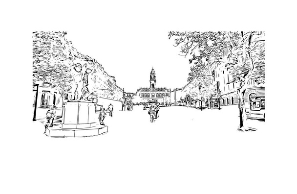
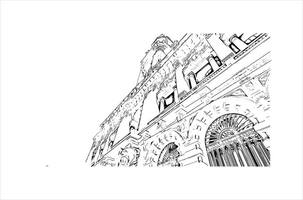
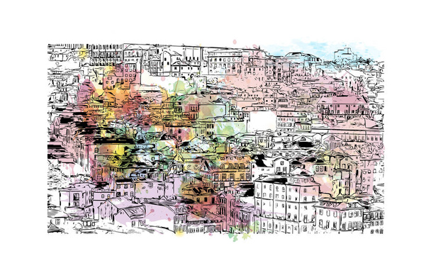
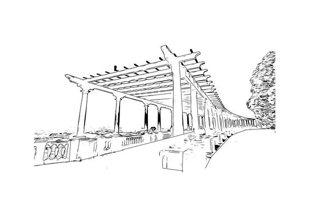
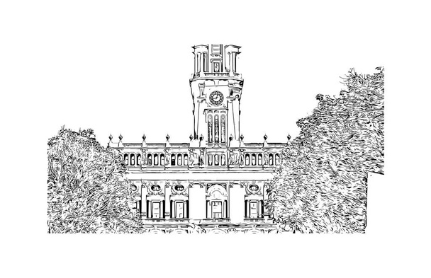
Print Building view with landmark of Porto Novo is the capital of Benin. Hand drawn sketch illustration in vector.

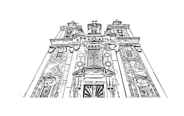
Print Building view with landmark of Porto Novo is the capital of Benin. Hand drawn sketch illustration in vector.

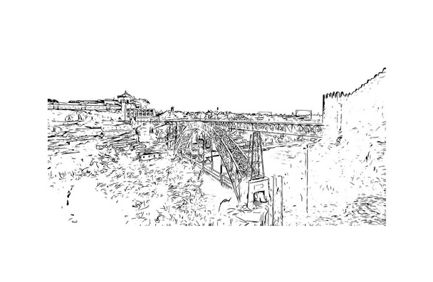
Print Building view with landmark of Porto Novo is the capital of Benin. Hand drawn sketch illustration in vector.

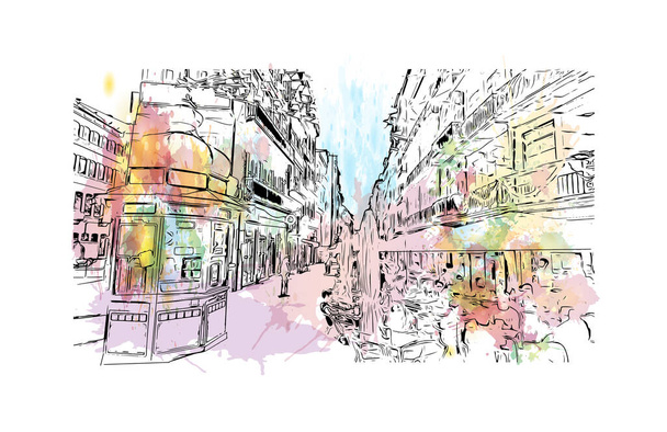
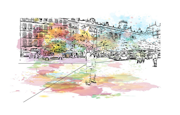
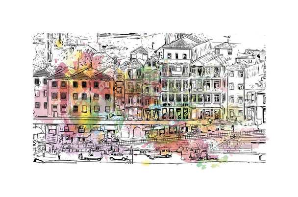
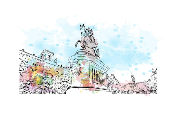
Print Building view with landmark of Porto Novo is the capital of Benin. Watercolor splash with hand drawn sketch illustration in vector.
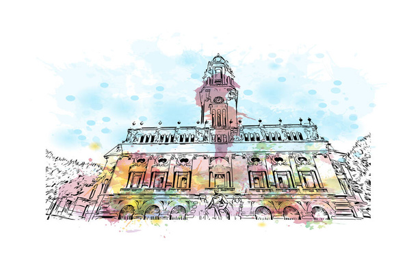
Print Building view with landmark of Porto Novo is the capital of Benin. Watercolor splash with hand drawn sketch illustration in vector.

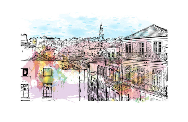
Print Building view with landmark of Porto Novo is the capital of Benin. Hand drawn sketch illustration in vector.
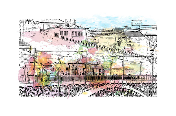
Print Building view with landmark of Porto Novo is the capital of Benin. Watercolor splash with hand drawn sketch illustration in vector.
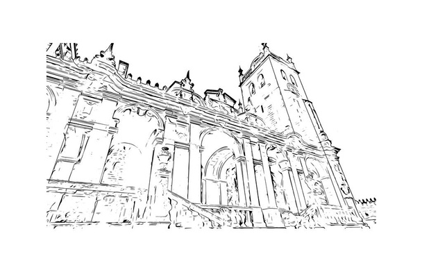
Print Building view with landmark of Porto Novo is the capital of Benin. Hand drawn sketch illustration in vector.
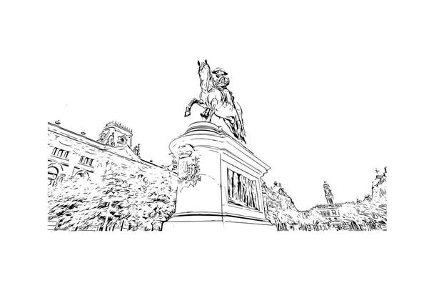
Print Building view with landmark of Porto Novo is the capital of Benin. Hand drawn sketch illustration in vector.

Die Djougou-Landkarte des Benin-Landes.
Porto-Novo City (Republik Benin, Departement Oueme) Kartenvektorillustration, Kritzelskizze Stadt Porto Novo, Hogbonu oder Ajashe Karte

Dongaabteilung (Departements Benin, Republik Benin, Daheim) Kartenvektorillustration, Kritzelskizze Dongakarte
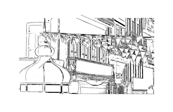
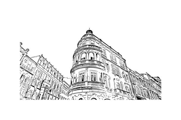
Print Building view with landmark of Porto Novo is the capital of Benin. Hand drawn sketch illustration in vector.

Print Building view with landmark of Porto Novo is the capital of Benin. Hand drawn sketch illustration in vector.
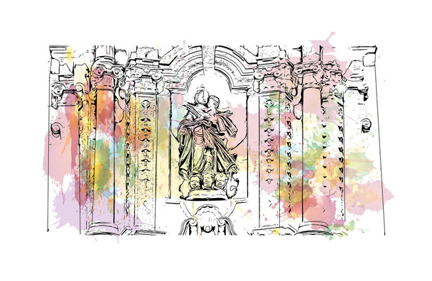
Print Building view with landmark of Porto Novo is the capital of Benin. Watercolor splash with hand drawn sketch illustration in vector.
Print Building view with landmark of Porto Novo is the capital of Benin. Hand drawn sketch illustration in vector.
Print Building view with landmark of Porto Novo is the capital of Benin. Hand drawn sketch illustration in vector.

Print Building view with landmark of Porto Novo is the capital of Benin. Watercolor splash with hand drawn sketch illustration in vector.
Print Building view with landmark of Porto Novo is the capital of Benin. Hand drawn sketch illustration in vector.
Print Building view with landmark of Porto Novo is the capital of Benin. Watercolor splash with hand drawn sketch illustration in vector.

Print Building view with landmark of Porto Novo is the capital of Benin. Hand drawn sketch illustration in vector.
Print Building view with landmark of Porto Novo is the capital of Benin. Watercolor splash with hand drawn sketch illustration in vector.
Print Building view with landmark of Porto Novo is the capital of Benin. Watercolor splash with hand drawn sketch illustration in vector.
Print Building view with landmark of Porto Novo is the capital of Benin. Watercolor splash with hand drawn sketch illustration in vector.

Detaillierte Karte von Porto-Novo, der Hauptstadt Benins. Stadtplan mit Gebäuden, Flüssen und Straßen, Parks und Eisenbahnen. Vektorillustration.

Vektorkarte von Benin. hoch detaillierte Landkarte mit Teilung, Städten und Hauptstadt porto novo. politische Karte, Weltkarte, infografische Elemente.
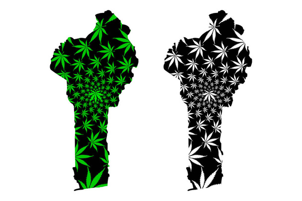
Benin - Karte ist konzipiert Cannabis Blatt grün und schwarz, Republik Benin Karte aus Marihuana (Marihuana, thc) Laub,

Kouffo department (departements benin, republik benin, dahomey) kartenvektorillustration, kritzelskizze kouffo map

Togo Land detaillierte editierbare Karte mit Regionen Städte und Gemeinden, Straßen und Eisenbahnen, geographische Standorte. Vector EPS-10-Datei

Print Building view with landmark of Porto Novo is the capital of Benin. Watercolor splash with hand drawn sketch illustration in vector.
Print Building view with landmark of Porto Novo is the capital of Benin. Watercolor splash with hand drawn sketch illustration in vector.

Print Building view with landmark of Porto Novo is the capital of Benin. Watercolor splash with hand drawn sketch illustration in vector.
Print Building view with landmark of Porto Novo is the capital of Benin. Hand drawn sketch illustration in vector.
Print Building view with landmark of Porto Novo is the capital of Benin. Watercolor splash with hand drawn sketch illustration in vector.

Print Building view with landmark of Porto Novo is the capital of Benin. Watercolor splash with hand drawn sketch illustration in vector.
Print Building view with landmark of Porto Novo is the capital of Benin. Hand drawn sketch illustration in vector.
Print Building view with landmark of Porto Novo is the capital of Benin. Hand drawn sketch illustration in vector.

Niger, Binnenstaat in Westafrika, graue politische Landkarte mit Grenzen, Regionen, Hauptstadt Niamey und größten Städten. Die Republik Niger, ein Einheitsstaat. Der größte Teil seiner Fläche liegt in der Sahara.

Benin-Karte, einfache Illustration im Web

Flagge von Benin auf weißem Hintergrund. Gepunktete Landkarte von Benin mit dem Namen der Hauptstadt - Porto-Novo. (EPS 10 Vektorart)

Karte des grenzüberschreitenden Schutzgebiets W Arly Pendjari, Benin, Niger, Burkina Faso

Print Building view with landmark of Porto Novo is the capital of Benin. Hand drawn sketch illustration in vector.

Print Building view with landmark of Porto Novo is the capital of Benin. Watercolor splash with hand drawn sketch illustration in vector.

Print Building view with landmark of Porto Novo is the capital of Benin. Hand drawn sketch illustration in vector.

Print Building view with landmark of Porto Novo is the capital of Benin. Hand drawn sketch illustration in vector.

Print Building view with landmark of Porto Novo is the capital of Benin. Hand drawn sketch illustration in vector.

Print Building view with landmark of Porto Novo is the capital of Benin. Hand drawn sketch illustration in vector.

Print Building view with landmark of Porto Novo is the capital of Benin. Watercolor splash with hand drawn sketch illustration in vector.

Print Building view with landmark of Porto Novo is the capital of Benin. Hand drawn sketch illustration in vector.