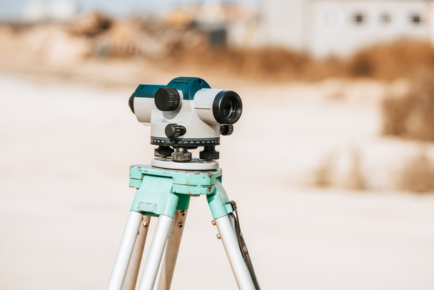

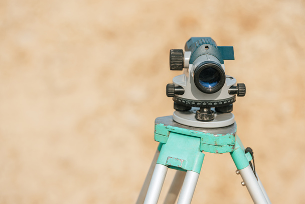
Nivel digital para la medición de geodesia en trípode - Foto e imágenes de stock
Por AndrewLozovyi 7360x4912 px
ID foto de stock: 320404716
Este sitio está protegido por reCAPTCHA.
Política de privacidad y cookies y Términos de servicio aplicar. desde
Imágenes similares sin derechos de autor


Tacheometer for surveying on the construction site. bright color, reliable design, high-quality lens

Optical digital level assembled to level the earth - Marking a contour line on the farm.

Surveyor equipment tacheometer or theodolite outdoors at construction area, builders work in background. concept of construction, designers, instruments.

Optical digital level assembled to level the earth - Marking a contour line on the farm.
Mostrar más