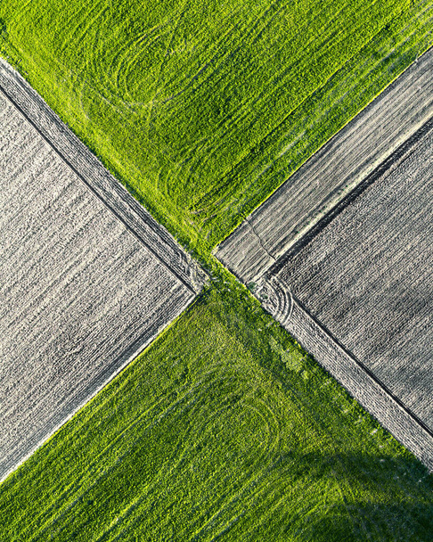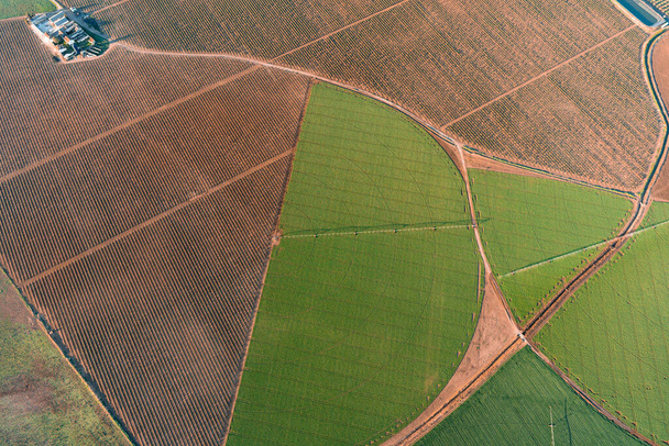


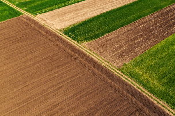
VistaCreate UnlimitedPhotosUn plan aérien de route routière avec des champs agricoles verts et bruns dans la campagne


Un plan aérien de route routière avec des champs agricoles verts et bruns dans la campagne - Photo & image de stock
Par Wirestock 4892x3259 px
Id. photo: 447112658
Ce site est protégé par reCAPTCHA.
Politique de confidentialité et de cookies et les Conditions d’utilisation de Google s’appliquent. de
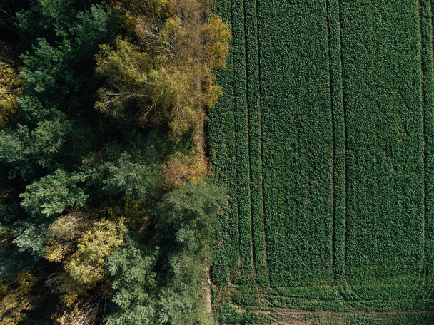
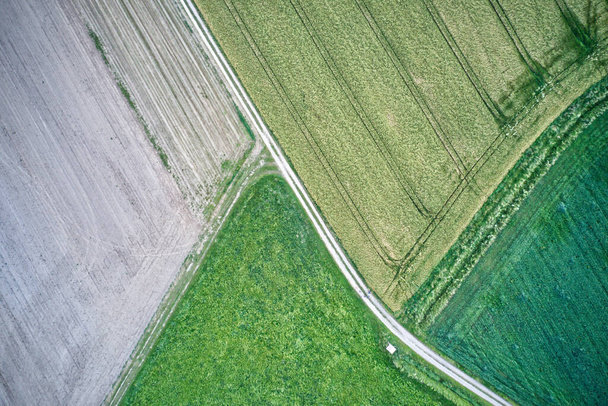
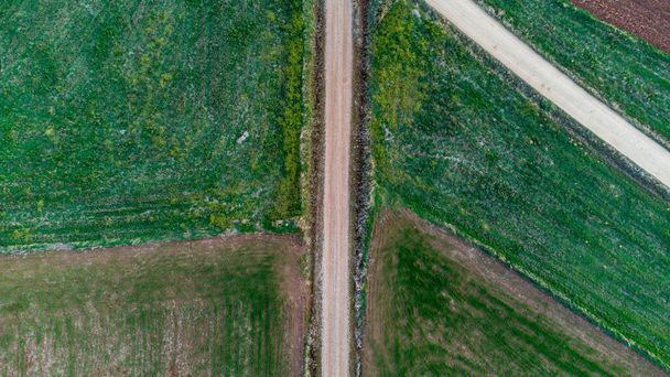
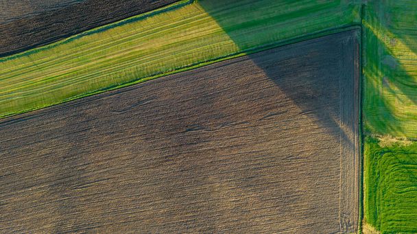
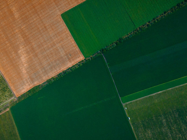
Images libres de droits similaires

Aerial drone shot of top-down view on the fields in the Netherlands
Aerial view geometric farming fields, showing a green meadow and plowed fields, captured with a drone. High quality photo

Aerial drone photo of cereal farm land during spring time.

Aerial view of the landscape with green grass and colors on the agricultural field with a rural road, which divides it into four parts with line trees. Nature and environment, naturalness.
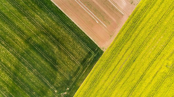
Colorful patterns in crop fields at farmland, aerial view, drone photo.

Afficher plus